What is offered in Punta Canoa and what the city's land-use plan permits on the same property do not always agree, and when they disagree the rules prevail. That is the difference between buying a project and buying a dispute.
The POT (the city's land-use plan) assigns each polygon an use — residential, tourist, institutional, mixed-activity — and separately defines suelo de protección (protected land), which is not to be urbanised for environmental or hazard reasons. A property in protected land can be sold and can be deeded, but that does not make it developable. A listing calling it 'residential' does not change the classification: the use is decided by the polygon, not by the project.
What is sold in Punta Canoa is often not a lot but a share in a tract still held en común y proindiviso, in undivided co-ownership, and buying a share gives no right to a specific piece of ground, only an abstract fraction of the whole: the buyer ends up co-owning with strangers and needs a partición, a partition, or a physical division before being able to say which part is his. That is the process that sets this sector apart: identifying every co-owner, finding out whether anyone has already petitioned for division, and seeing how the predial, the property tax, has been paid on an asset nobody uses exclusively. The counterparty differs from the village too: sometimes it is a land-holding company based elsewhere, in which case you request its certificado de existencia y representación, the corporate good-standing and signing-authority certificate, along with the resolution authorizing the sale. Who decides differs as well: lying outside consolidated urban land, permitting runs through the rural regime and the environmental opinions of Cardique rather than a neighborhood licensing office, with DIMAR, the maritime authority, involved at the beach edge. Nor is infrastructure networked: each parcel arranges its own water, power and wastewater.
What is specific to Punta Canoa
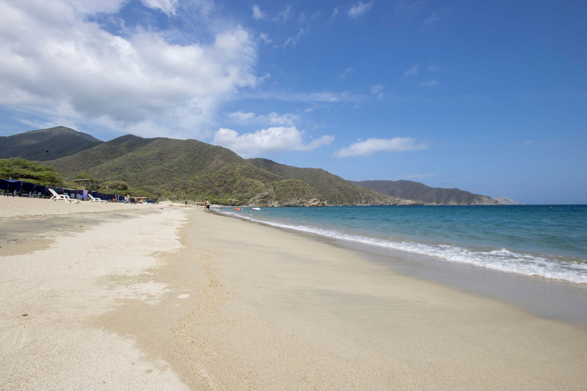
A low-density coastal village to the north, with open beach and very little high-rise building. Lots and houses dominate; towers are the exception. It lies along the coastal road toward Barranquilla, far from the centre and without full urban services.
- whether the property has its own registry folio or sits inside a larger parcel that was never subdivided
- whether there is certified utility availability, not merely a promise that services are coming
- whether the property lies in a coastal erosion risk zone, which is documented along this stretch
What to verify, step by step
- Locate the Punta Canoa property on the POT mapping and note the polygon, the treatment and the assigned use, not the use the advertisement claims.
- Ask the District for the land-use certificate against the property's registry folio: that is the document you can argue with, not a printed map.
- Ask whether the property lies wholly or partly in suelo de protección, and what share of the area you are being charged for falls outside what is buildable.
- Match the assigned use against what you intend to do, since permanent housing, tourist accommodation and retail are different uses that do not always coexist in the same polygon.
- Check in addition what is specific to Punta Canoa, which is what the land-use certificate will not tell you: whether the property has its own registry folio or sits inside a larger parcel that was never subdivided; whether there is certified utility availability, not merely a promise that services are coming and whether the property lies in a coastal erosion risk zone, which is documented along this stretch.
Mistakes that cost money
- Taking the use the offer advertises as the use in the POT. The first is commercial and the second is regulatory, and only the second can be certified.
- Assuming a registered deed makes protected land developable. Registration speaks to ownership, the POT to what may be done on it.
- Taking what was built on the neighbouring lot as what you may build. Use and treatment are read polygon by polygon, and in Punta Canoa the neighbour may sit in a different one.
Frequently asked questions
- Can I buy a property in protected land?
- Buying and registering it is one thing; developing it is another. Ask the District and Cardique what is admitted on that property before you sign.
- Who certifies the land use of a property in Punta Canoa?
- The District, on request and for an identified property. The POT publishes the rules and the mapping; the certificate has to be requested, and the request is filed in writing from abroad.
- Does land use decide whether I can rent by the night?
- It is one of the conditions; the others are the condominium bylaws and registration with the Registro Nacional de Turismo. You check all three.
Where to check it
- Plan de Ordenamiento Territorial de Cartagena — land use, the rules applying to the property and protected land
- Alcaldía Mayor de Cartagena de Indias — property tax, betterment levies and District procedures
- Cardique, autoridad ambiental del Canal del Dique — environmental permits, water setbacks and mangrove or wetland constraints
- Dirección General Marítima (DIMAR) — public-domain tidal land and concessions over the beach
- Instituto Geográfico Agustín Codazzi — the cadastral record, area, boundaries and assessed value of the property
- Superintendencia de Notariado y Registro — the certificate of title and encumbrances, which is the property's full history
- Registro Nacional de Turismo — whether a property may legally be used for tourist accommodation and who has registered it
- Cartagena de Indias — the rules of the municipality Punta Canoa belongs to
Official bodies. Specific figures are requested there, not copied from a listing.
Updated 2026-11-05
More about Punta Canoa
- Property tax and betterment levies in Punta Canoa: the debt that follows the property
- Seasons and demand in Punta Canoa: how to ask for the data instead of believing it
- The reglamento de propiedad horizontal in Punta Canoa: why it governs inside the building
- Administration dues and the reserve fund in Punta Canoa: what they actually cover
- Zona de bajamar in Punta Canoa: why fenced lots on the shore cannot be sold
The same, in other neighbourhoods
- Cartagena's land-use plan applied to Bocagrande: use, protection and limits
- Cartagena's land-use plan applied to Castillogrande: use, protection and limits
- Cartagena's land-use plan applied to Crespo: use, protection and limits
- Cartagena's land-use plan applied to El Laguito: use, protection and limits
Interested in a property in this area?
Write to us and we will send you the available options.