Every property carries a recorded economic use in the cadastre, and the one attached to a beachfront house is not always the use it actually serves. That line is no administrative detail: it is the basis on which property tax is assessed and the record checked whenever a permit is requested.
Economic use is the classification IGAC assigns to a property on its cadastral record —residential, commercial, vacant land, mixed— and it travels together with the area, the boundaries and the valuation. When the record says one thing and the property does another, the mismatch surfaces at three awkward moments: when the Distrito assesses property tax, when a ruling or a permit is applied for and the file does not line up, and when the buyer comes to sell and the title search compares the cadastral record against the registry folio. For a beachfront house the mismatch has typical causes, and it is worth knowing which one is yours before signing, because the correction is filed with the cadastral authority and is not solved at the notaría on signing day. What classification your property carries and how it is corrected are questions for IGAC or the Distrito's cadastral authority; what it means for your taxes is one for your adviser.
A beachfront house is bought differently because one of its boundaries was not drawn by a surveyor: the water draws it and the State defines it. In front of the lot lies a strip that is bien de uso público of the Nation —public domain— which cannot be sold, fenced or acquired by the passage of time. So part of what you enjoy from the terrace will never belong to anyone, and the public keeps its right of access. That condition reshapes the whole review. A clean deed and a clean folio are not enough: you need to know where that line sits today, whether any structure on the lot crossed it, and whether a proceeding is open before the maritime or environmental authority, because building on public land is not cured with money or at a notaría. The second point is that the property lives inside a medium that attacks it. Salt air and surf work on the structure year round, so what you buy includes maintenance that never pauses and, very often, a coastal protection work whose owner and whose duty to repair are worth identifying before signing, especially when it sits outside the boundary or is shared with neighbors.
What is sold in Punta Canoa is often not a lot but a share in a tract still held en común y proindiviso, in undivided co-ownership, and buying a share gives no right to a specific piece of ground, only an abstract fraction of the whole: the buyer ends up co-owning with strangers and needs a partición, a partition, or a physical division before being able to say which part is his. That is the process that sets this sector apart: identifying every co-owner, finding out whether anyone has already petitioned for division, and seeing how the predial, the property tax, has been paid on an asset nobody uses exclusively. The counterparty differs from the village too: sometimes it is a land-holding company based elsewhere, in which case you request its certificado de existencia y representación, the corporate good-standing and signing-authority certificate, along with the resolution authorizing the sale. Who decides differs as well: lying outside consolidated urban land, permitting runs through the rural regime and the environmental opinions of Cardique rather than a neighborhood licensing office, with DIMAR, the maritime authority, involved at the beach edge. Nor is infrastructure networked: each parcel arranges its own water, power and wastewater.
What is specific to Punta Canoa
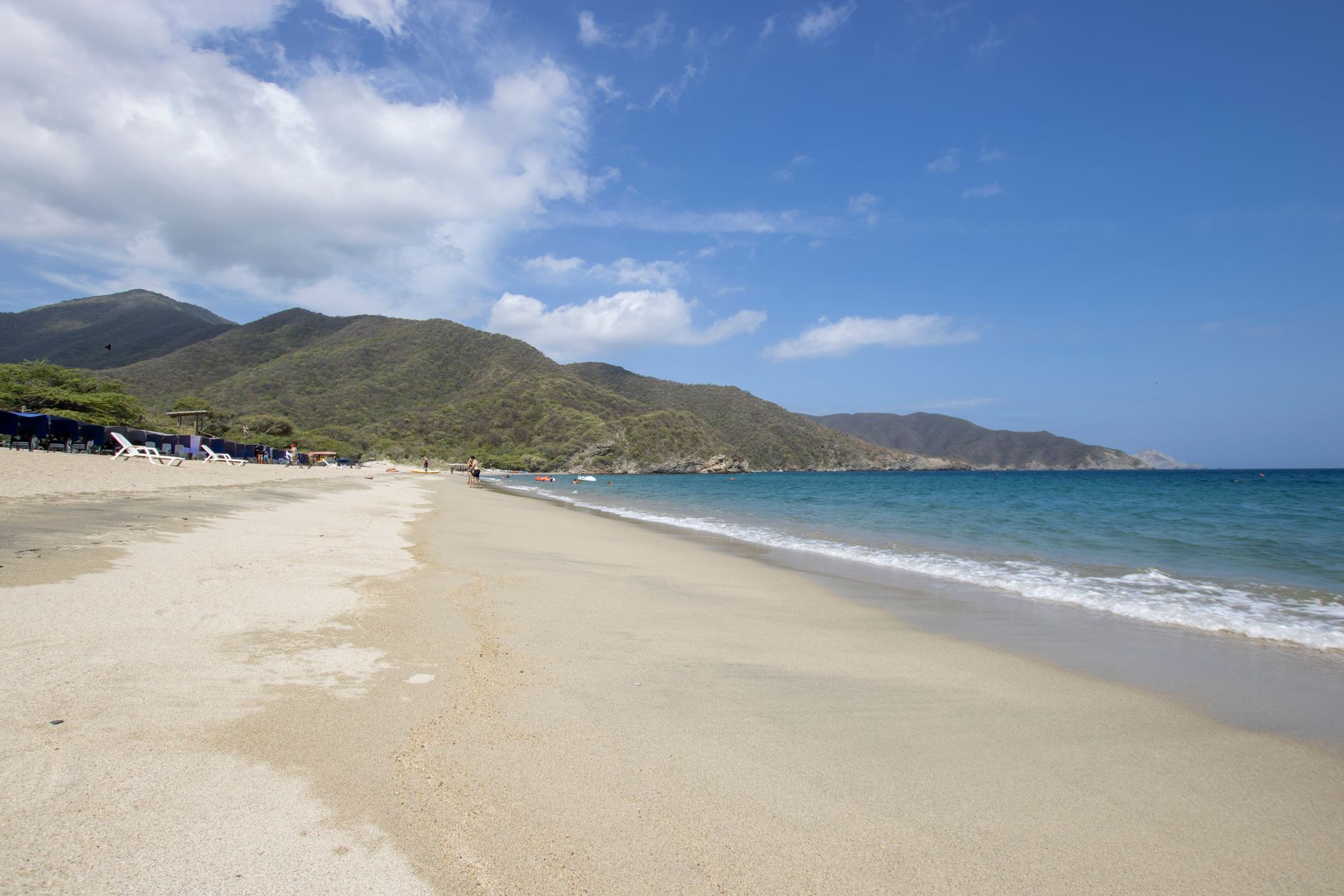
A low-density coastal village to the north, with open beach and very little high-rise building. Lots and houses dominate; towers are the exception. It lies along the coastal road toward Barranquilla, far from the centre and without full urban services.
- whether the property has its own registry folio or sits inside a larger parcel that was never subdivided
- whether there is certified utility availability, not merely a promise that services are coming
- whether the property lies in a coastal erosion risk zone, which is documented along this stretch
What to verify, step by step
- Order the property's cadastral record by its registry folio and read the recorded economic use, the built area and the land area exactly as they appear, not as the listing describes them.
- Compare that record against the certificado de tradición y libertad (the title and encumbrances certificate) from the Ventanilla Única de Registro: property identification, area and boundaries must tell the same story.
- Ask the Alcaldía which use the property tax is currently being assessed under, and since when.
- Check what belongs to a beachfront house itself and explains why its record may not match: where the zona de bajamar (the tidal strip, public domain of the Nation) ends in front of the lot, because nothing built on it conveys with the house; whether the fence, pool or terrace encroach on that strip, and whether any proceeding is open before the maritime or environmental authority and how wave protection was solved and who owns the protection works, which often sit outside the boundary line.
- Where there is a mismatch, ask the cadastral authority which correction or mutación application applies, who may file it and what supporting documents it takes; the filing starts without travelling, with a power of attorney where a signature is needed.
- Have the promesa state who files the correction, with what supporting documents, and what happens to closing if the cadastral authority has not yet ruled.
Mistakes that cost money
- Confusing cadastral use with POT land use. The POT says what is allowed in the polygon; the cadastre says how the property is classified, and you can be in order with one and not the other.
- Taking the record the seller hands you at face value. Order it yourself and recently dated, because a cadastral mutación changes the record without changing the deed.
- Assuming the correction is notarial business. The record is amended by the cadastral authority, and a deed does not take its place.
Frequently asked questions
- Where is the recorded economic use consulted?
- On the property's cadastral record, with IGAC or whichever cadastral authority operates in the municipality. The registry folio from the Ventanilla Única de Registro is used to cross-check it.
- Can a deed be signed while the recorded use is out of date?
- That is a question for the notary and your attorney, since it depends on what the particular transaction requires. What you can verify before signing is what the record says today and what filing is pending.
- Who is asked for the correction when the record does not match?
- The competent cadastral authority, which is what amends the record. The Alcaldía comes in for whatever affects the property tax assessment.
Where to check it
- Instituto Geográfico Agustín Codazzi — the cadastral record, area, boundaries and assessed value of the property
- Ventanilla Única de Registro (VUR) — checking the registry folio online and ordering the certificate without visiting the office
- Alcaldía Mayor de Cartagena de Indias — property tax, betterment levies and District procedures
- Cartagena de Indias — the rules of the municipality Punta Canoa belongs to
Official bodies. Specific figures are requested there, not copied from a listing.
Updated 2026-11-06
Interested in a property in this area?
Write to us and we will send you the available options.