Along this coast the ground is sand, fill and a high water table, and the foundation is the one part of a property you cannot see and cannot fix cheaply. The estudio de suelos —the geotechnical report— is the document that speaks to it, and what you should ask for depends on what you are buying.
A geotechnical engineer prepares the estudio de suelos with borings and laboratory testing, and it feeds the structural design filed with the licencia de construcción, the building permit. For a beach lot that turns into different questions: asking for the report that will support work not yet built is not the same as asking for the one that supported a building put up years ago. The report states what the exploration found and what foundation the engineer recommended; it does not certify that the work was built to that recommendation, it does not replace the environmental permit where mangrove, a water setback or a ciénaga is involved, and it does not assert that the property is sound today. Where no report exists, what remains is rebuilding the file: approved drawings, the filed permit, and the history of repairs the owners' association has voted.
A beach lot is bought differently because the first question is not what you may build but whether a private owner ever existed. Along the coastal strip you find land that could lawfully be granted, land that never left the public domain, and land someone occupied and then transferred without holding the right, so the chain of title may rest on mere possession or on falsa tradición, a transfer by someone who never held registered ownership. No deed, no notaría and no lapse of time fixes that, because property in the public domain cannot be acquired by prescription. Investigating the origin of title therefore outranks everything else and comes before any other conversation. The second difference is that the object itself moves: the shoreline advances or retreats, and the area shown on the folio may not be the land that is dry today. The third is that a substantial part of the terrain is not buildable at all, between the public strip, the ronda hídrica (protected water margin) and environmental setbacks, so the usable lot is always smaller than the lot purchased, and it is worth fixing that with a survey and with the environmental authority.
What is sold in Punta Canoa is often not a lot but a share in a tract still held en común y proindiviso, in undivided co-ownership, and buying a share gives no right to a specific piece of ground, only an abstract fraction of the whole: the buyer ends up co-owning with strangers and needs a partición, a partition, or a physical division before being able to say which part is his. That is the process that sets this sector apart: identifying every co-owner, finding out whether anyone has already petitioned for division, and seeing how the predial, the property tax, has been paid on an asset nobody uses exclusively. The counterparty differs from the village too: sometimes it is a land-holding company based elsewhere, in which case you request its certificado de existencia y representación, the corporate good-standing and signing-authority certificate, along with the resolution authorizing the sale. Who decides differs as well: lying outside consolidated urban land, permitting runs through the rural regime and the environmental opinions of Cardique rather than a neighborhood licensing office, with DIMAR, the maritime authority, involved at the beach edge. Nor is infrastructure networked: each parcel arranges its own water, power and wastewater.
What is specific to Punta Canoa
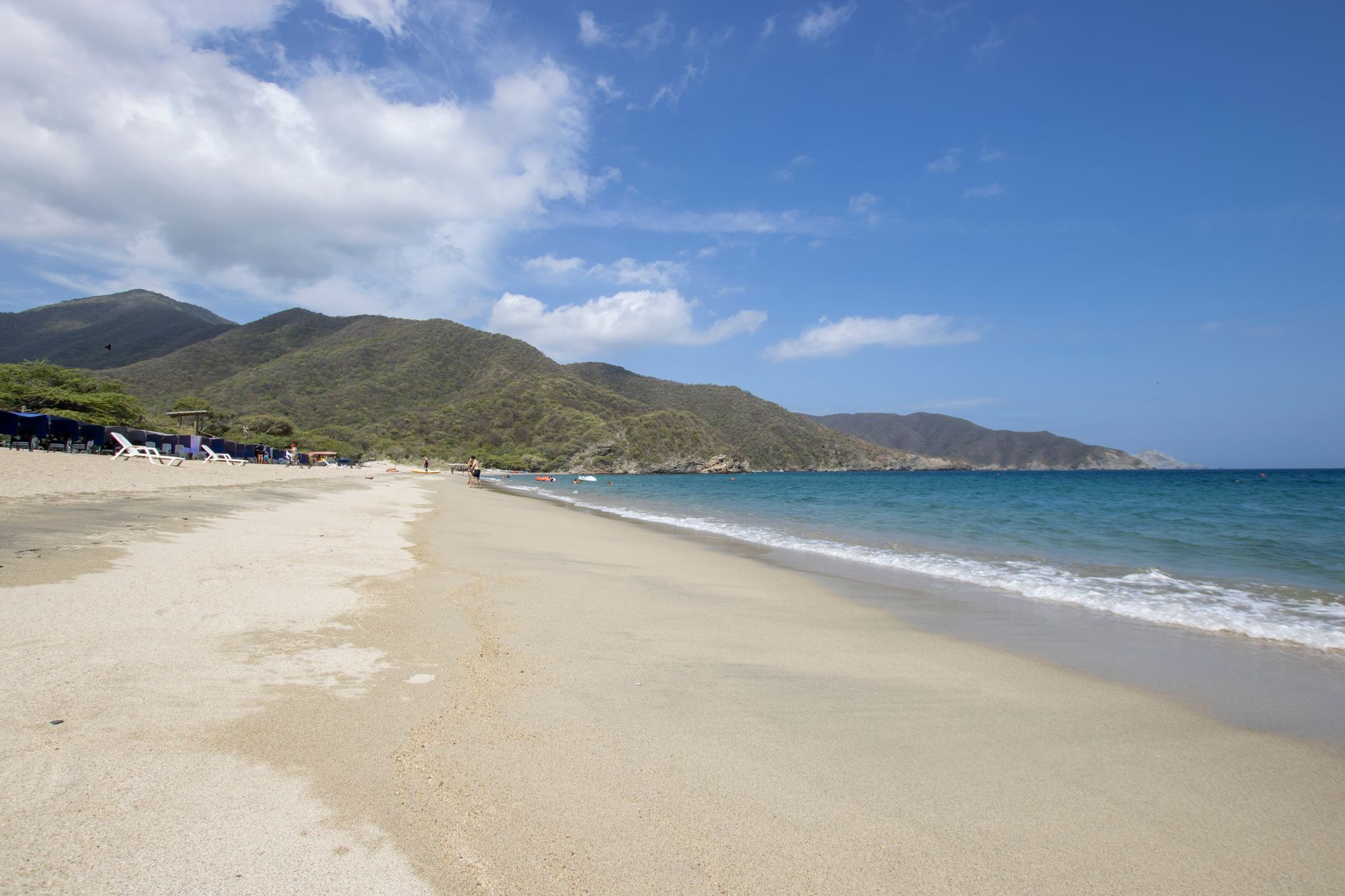
A low-density coastal village to the north, with open beach and very little high-rise building. Lots and houses dominate; towers are the exception. It lies along the coastal road toward Barranquilla, far from the centre and without full urban services.
- whether the property has its own registry folio or sits inside a larger parcel that was never subdivided
- whether there is certified utility availability, not merely a promise that services are coming
- whether the property lies in a coastal erosion risk zone, which is documented along this stretch
What to verify, step by step
- Ask who signed the estudio de suelos and request the full report with its boring logs, not the cover sheet.
- Confirm with the curaduría urbana —the private office that issues building permits— whether that report is in the permit file, and whether the approved drawings match what stands on site.
- Ask Cardique whether the land is affected by mangrove, a water setback or a ciénaga, since that governs what can be founded there.
- Review what belongs to beach lots and is not covered by the report alone: where the zona de bajamar ends: it is public domain of the Nation, cannot be sold, and no private deed cures it; whether the lot has its own matrícula inmobiliaria or was never split out, and whether the chain of title carries falsa tradición (a transfer by someone who never held registered ownership) or mere possession and how much of the lot is actually buildable once the public strip, the ronda hídrica (protected water margin) and the environmental setback are taken out.
- Add what the ground in Punta Canoa imposes: whether the property has its own registry folio or sits inside a larger parcel that was never subdivided; whether there is certified utility availability, not merely a promise that services are coming and whether the property lies in a coastal erosion risk zone, which is documented along this stretch.
- If no report exists because the building is old, commission an engineer to assess its present condition and ask the District for whatever risk information it holds on the property.
Mistakes that cost money
- Accepting the neighbouring lot's report. Exploration is site-specific, and in coastal fill it changes from one property to the next.
- Reading the report as a certificate that the building was properly built. It records what the engineer recommended, not what the builder did.
- Buying with a visible crack and a verbal promise that the administración will repair it. What counts is the minute in which the owners voted the work and how it is paid for.
Frequently asked questions
- Can the soil study for a beach lot be sent to me by email?
- Yes, it is a file and can be reviewed from abroad. The person who has to read it with judgement is an engineer, not the broker.
- What if the seller says the report was lost?
- Ask the curaduría for the permit file, where it was filed, and in parallel order an assessment of present condition.
- Does the soil study cover beach erosion?
- No. That is a separate question, put to the environmental and maritime authorities rather than to the geotechnical engineer.
Where to check it
- Curadurías Urbanas de Cartagena — whether a current building or subdivision permit exists and exactly what it authorises
- Cardique, autoridad ambiental del Canal del Dique — environmental permits, water setbacks and mangrove or wetland constraints
- Alcaldía Mayor de Cartagena de Indias — property tax, betterment levies and District procedures
- Cartagena de Indias — the rules of the municipality Punta Canoa belongs to
Official bodies. Specific figures are requested there, not copied from a listing.
Updated 2026-11-06
Interested in a property in this area?
Write to us and we will send you the available options.